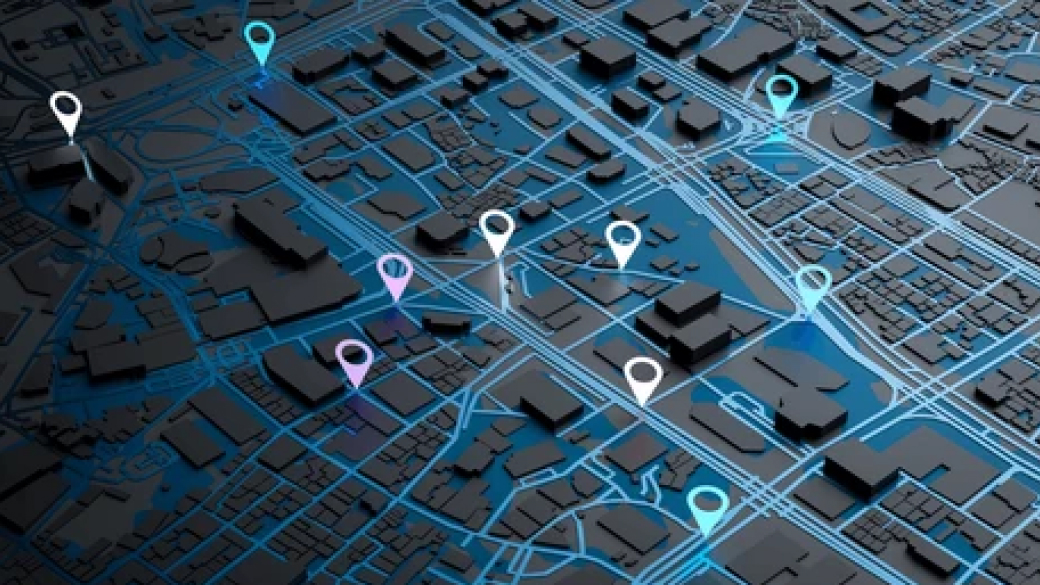
Location Based Services
Our expertise covers integration with a variety of APIs, data collection, automated data processing, and compilation of accurate maps with multiple tiles for custom business use. We help clients develop innovative location solutions for car navigation, vehicle fleets, open data platforms, cross-industry drone applications, agricultural machinery, and venues all over the world.
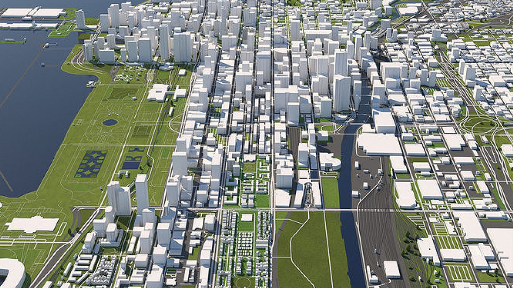
Geospatial Data and Content Management Services
A well-built Geographic Information System (GIS) allows companies to uncover actionable insights from location data, map layers, and 3D modeling. Intellias engineers provide consulting and GIS software development services covering accurate positioning and spatial data management to recognize geographical patterns visible only through GIS mapping solutions.

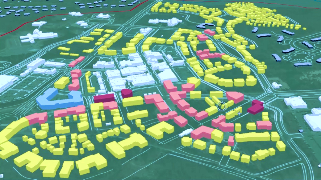
Data capture and conversion
We simplify the way our clients capture and convert geographic data from physical maps, survey coordinates, and integrations with GNSS/GPS satellites, field computers, LiDARs, UAVs, and remote sensors.

Data capture and conversion
We simplify the way our clients capture and convert geographic data from physical maps, survey coordinates, and integrations with GNSS/GPS satellites, field computers, LiDARs, UAVs, and remote sensors

Data capture and conversion
We simplify the way our clients capture and convert geographic data from physical maps, survey coordinates, and integrations with GNSS/GPS satellites, field computers, LiDARs, UAVs, and remote sensors.
Data capture and conversion
We simplify the way our clients capture and convert geographic data from physical maps, survey coordinates, and integrations with GNSS/GPS satellites, field computers, LiDARs, UAVs, and remote sensors.